Create Your First Project
Start adding your projects to your portfolio. Click on "Manage Projects" to get started
Precision Aerial Photography
Project Type
Photography
Date
April 2023
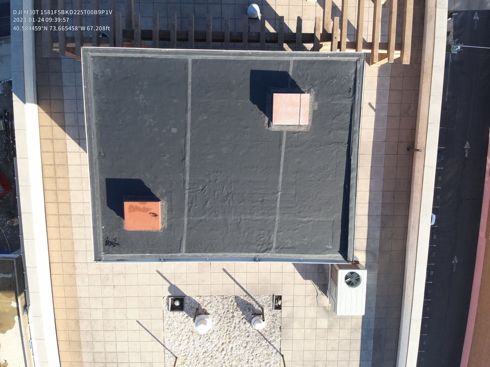
Historically, most aerial views of construction sites were obtained through helicopter photography. This method has proven to be time-consuming, expensive, and inefficient, and as a result, the use of unmanned aerial vehicles (UAVs), or drones, is rapidly gaining popularity as a highly-effective alternative method of construction monitoring.
Drones controlled by an experienced pilot can be flown high above A skyscraper at the job site, sending real-time information to the engineers and project managers on the ground. At the same time, UAVs collect high-resolution images that can then be used by licensed surveyors and mappers to create 3D models. Crucially, drones can fly close to the construction area, providing close-up shots of multiple areas around the jobsite.


